FLY THE UNITS WITH THE TOPRUT VDRONE
Not everyone has the time or resources to get boots on the ground in every unit that we research. Assigning a rank or score to a unit's terrain and accessibility can be helpful, but nothing compares to visualizing it for yourself.
Introducing the vDrone - welcome to the next level!
CLICK TO FLY THE UNIT:

In addition to the latest draw and harvest information, our Peak members can now use the Toprut vDrone to fly every unit that we cover - almost 4000 of them - directly from the web browser. No separate download. No special software. Just click to Fly The Unit.
Fast Facts
- The vDrone has covered greater than 1.5 million square miles - or about 40% the total size of the United States.
- The vDrone has flown a total distance of almost 230,000 miles thus far - enough to circle the Earth more than 9 times at the equator.
- It would take 35 hours to watch all of the vDrone coverage from beginning to end.
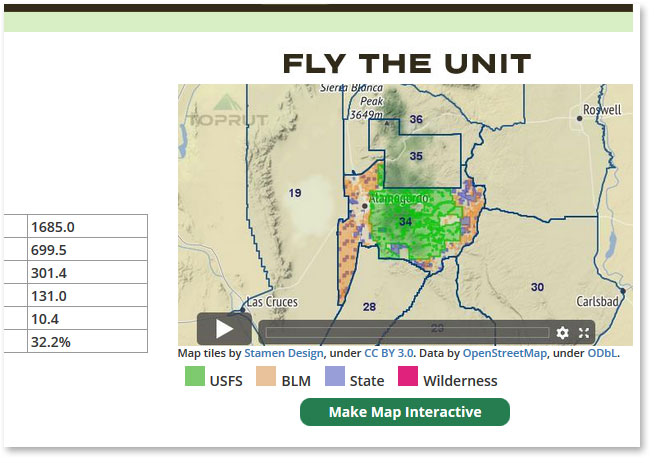
Currently the vDrone is seamlessly integrated into our Unit detail pages in the same place where you have traditionally seen the public land ownership map (example). To access the new vDrone coverage, Peak members can now simply click on that map to launch the new Fly The Unit feature:
Buckle up - you've been cleared for takeoff!
Tags:
2019
e+scouting
maps
peak